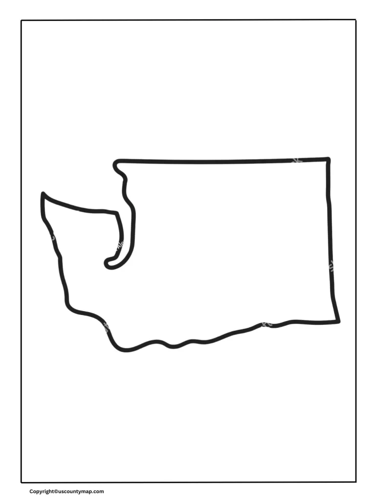
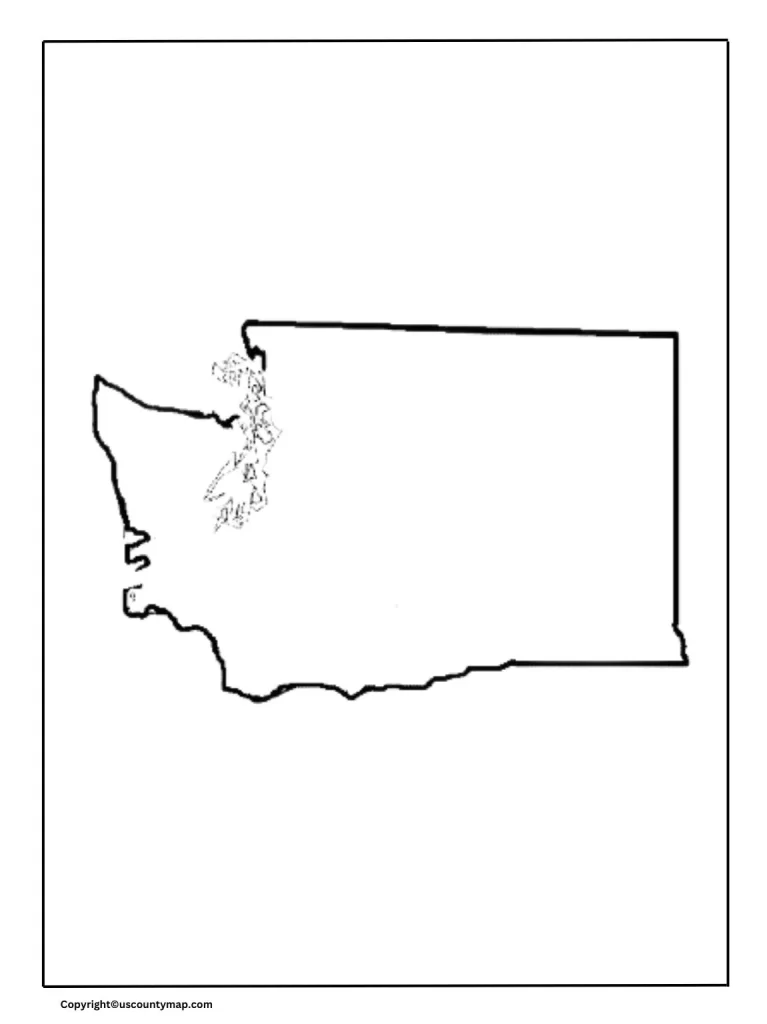
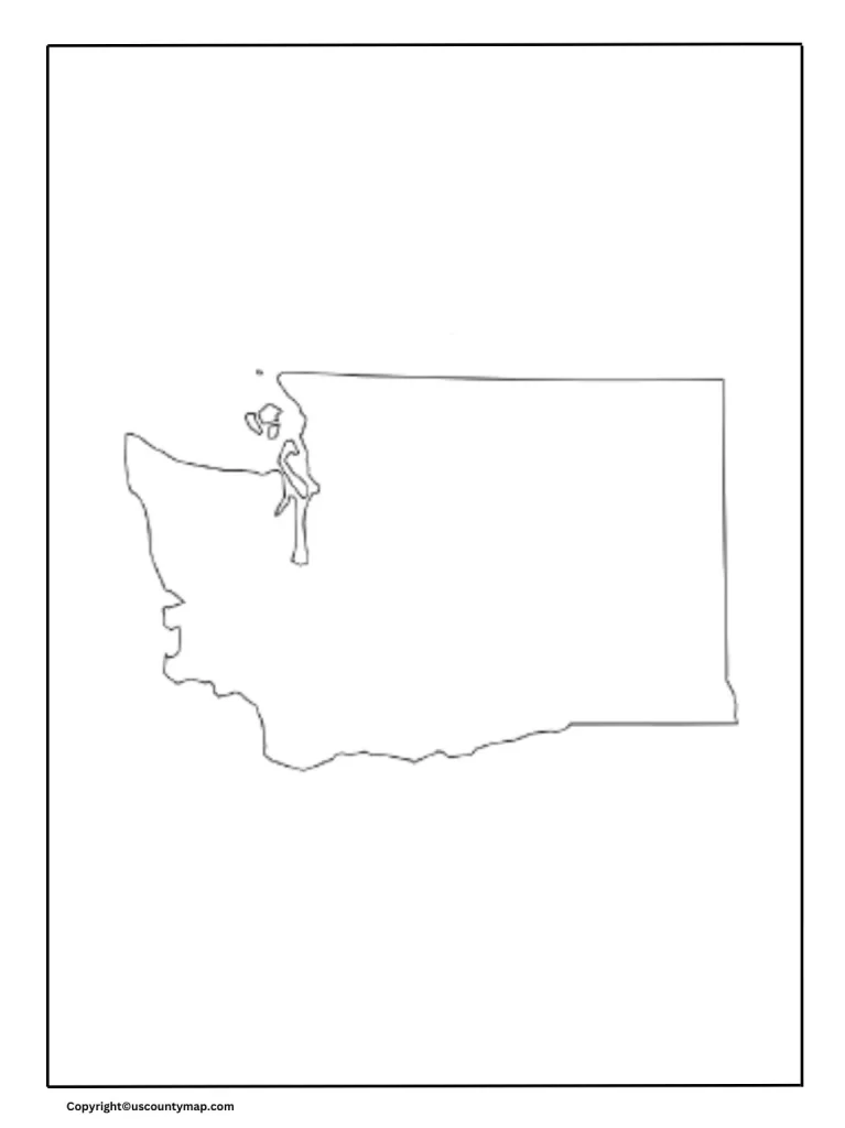
The blank map of Washington counties and printable maps of the state serve a wide range of purposes across educational, planning, research, travel, and business contexts. They are versatile tools that facilitate learning, navigation, strategic planning, and community engagement.
Blank Map of Washington Counties

Uses of Blank Map of Washington Counties
- Educational Purposes:
- Geography Lessons: Teachers use blank maps to instruct students about the counties of Washington. Students can label the counties, understand their locations, and gain knowledge about the state’s geography.
- Quizzes and Exams: Blank maps are valuable for tests where students must identify and label different counties.
- Planning and Organization:
- Event Planning: Organizers can utilize blank maps to plan events, indicating which counties will participate and identifying key locations.
- Service Areas: Businesses and service providers can define service areas and delivery zones across various counties.
- Research and Analysis:
- Data Collection: Researchers use blank maps to mark data points, such as demographic information, economic statistics, or environmental studies.
- Epidemiology: Health professionals can map disease spread or the availability of health services.
- Government and Administration:
- Resource Allocation: Government agencies use maps to plan resource distribution, disaster management, and infrastructure development.
- Political Campaigns: Campaign managers strategize election campaigns by visualizing support bases and target areas.
- Travel and Tourism:
- Tourist Routes: Travel agencies design travel routes and highlight tourist attractions within different counties using blank maps.
- Personal Travel Planning: Individuals planning trips use blank maps to mark destinations and plan their journeys.
Printable Washington Map
- Public Information:
- Brochures and Guides: Printable maps are included in travel brochures, guides, and informational pamphlets for tourists and new residents.
- Educational Materials: Schools and libraries provide printed maps as part of their educational resources.
- Navigation and Wayfinding:
- Road Trips: Travelers use printed maps for navigation during road trips, identifying routes, highways, and major cities.
- Local Exploration: Residents explore nearby areas and find local points of interest.
- Business and Marketing:
- Store Locations: Businesses print maps showing their store locations across the state.
- Market Analysis: Companies analyze market areas and visualize competition.
- Real Estate:
- Property Listings: Real estate agents include maps in property listings to show the location of homes and commercial properties.
- Area Analysis: Buyers use maps to analyze different areas and their amenities.
- Event Coordination:
- Community Events: Event planners distribute printed maps showing event locations, parking areas, and key facilities.
- Conferences: Conference organizers provide maps to attendees for navigating venues and surrounding areas.
- Emergency Services:
- Evacuation Routes: Authorities distribute printed maps indicating evacuation routes in case of natural disasters or emergencies.
- Resource Centers: Maps show the locations of emergency shelters, hospitals, and aid centers.
- Recreational Activities:
- Hiking and Biking Trails: Maps highlight trails, parks, and natural reserves for outdoor enthusiasts.
- Hunting and Fishing: Maps showing designated hunting and fishing areas are valuable for sportsmen.
- Historical and Cultural Exploration:
- Heritage Sites: Printable maps mark historical sites, museums, and cultural landmarks for educational tours.
- Cultural Trails: Maps outline trails that connect significant cultural and historical locations.
Blank Map of Washington Worksheet
A Washington map worksheet is helpful in short by:
- Enhancing Geography Skills: Helps students learn the locations of counties, cities, and geographical features.
- Promoting Interactive Learning: Engages students through activities like labeling, coloring, and drawing routes.
- Aiding Test Preparation: Serves as a practice tool for geography quizzes and exams.
- Developing Map Reading Skills: Improves ability to interpret symbols, legends, and scales.
- Encouraging Spatial Awareness: Helps students understand spatial relationships and physical space.
- Facilitating Data Analysis: Integrates information like population density or climate zones for analysis.
- Teaching History and Culture: Provides historical context and highlights cultural sites.
- Supporting Environmental Education: Teaches about natural resources and ecosystems.
- Fostering Practical Applications: Assists in planning travel routes and understanding community context.
- Stimulating Creativity: Allows for personalized and creative map projects.


