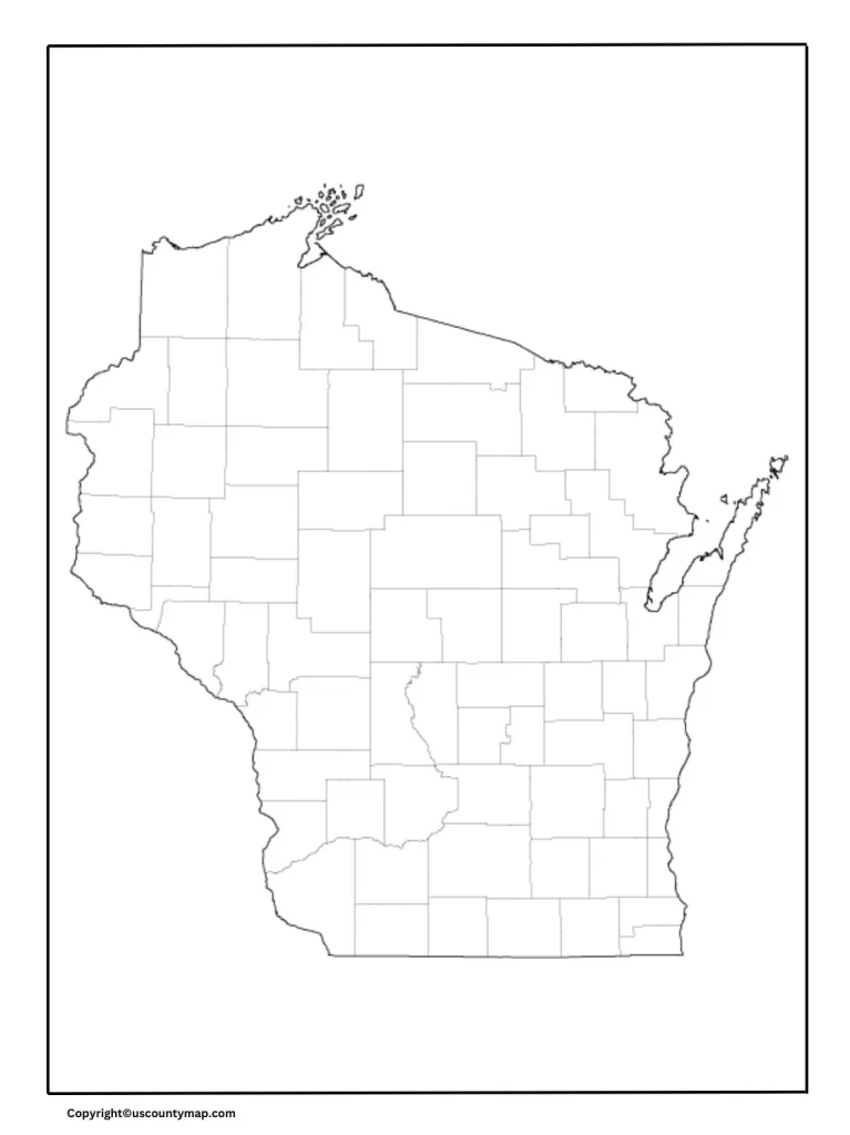
Wisconsin County Map Blanc is a useful tool with extensive applications in various educational, professional and individual uses. Within the education sector, it is a useful tool for geography teaching, where students can learn about the political boundaries of the state and identify each of the 72 counties. It can be used by teachers for various fields for quizzes, assignments, or class activities. In business and government, companies and government organizations use vacant county maps for plan, analysis and reporting.
Blank Map of Wisconsin

For example, disaster can determine the goal areas for campaigns, while public health officials can monitor and show the provision of the disease or the provision of health services. In addition, individuals and organizations use these maps for genealogical research, travel plan and community projects, enabling the visual and understanding of spatial relations within the state. In general, Visconsin County Blanc Map is a useful and informative resource that convenience a variety of uses, and it is a highly valuable resource for anyone, which should work with the geographical organization of Visconsin.
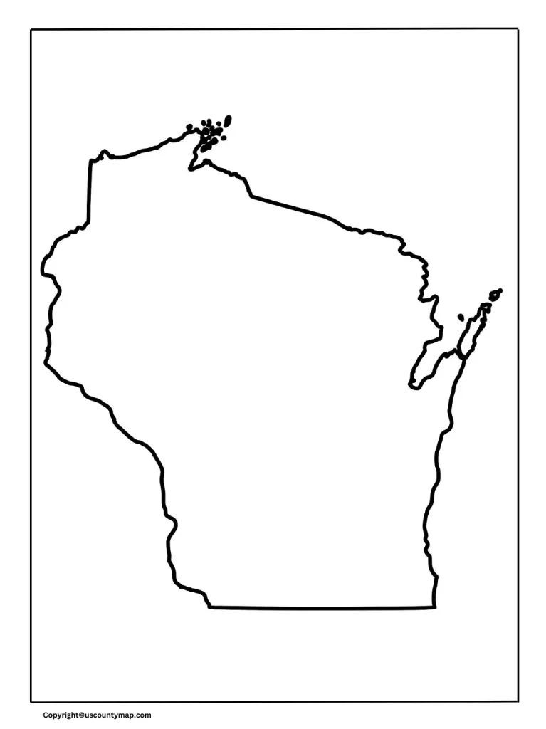
Wisconsin Map Outline [Blank Map of Wisconsin]
Wisconsin, in north-central United States, is renowned for its varied landscapes, cultural richness, and robust industrial and agricultural bases.
Geography and Natural Features:
Wisconsin borders Lake Superior in the north, Michigan in the northeast, Lake Michigan in the east, Illinois in the south, and Iowa and Minnesota to the west. The state can be separated into five distinct geographic regions:
- The Lake Superior Lowland: Situated in the northern region of the state, this area boasts a rocky shoreline along Lake Superior, with many cliffs, sandy beaches, and forests.
- The Northern Highland: This area includes large forests, many lakes, and the state’s highest point, which is Timms Hill. It is an area of high demand for outdoor recreation, such as hiking, fishing, and snowmobiling.
- The Central Plain: The Central Plain is an area of flatlands and rolling hills with agricultural fertility, especially concerning cranberry farming.
- The Western Upland: The terrain in this area consists of steep hills and glacially and ancient river-carved valleys. It also has the Driftless Area, which was not glaciated and therefore contains special geological characteristics.
- The Eastern Ridges and Lowlands: The Fox River Valley rich soil and Lake Michigan shoreline are part of this region. It is an important agricultural and industrial area.
Climate:
Wisconsin has a humid continental climate with cold winters and warm summers. The north of the state is colder and snowier, and the southern parts are less cold. Spring and autumn are mild seasons with moderate temperatures and lovely changes of foliage.
History:
Wisconsin has a diverse and interesting history. The region was initially settled by Native American tribes such as the Menominee, Ojibwe, and Ho-Chunk. French explorers and fur traders first arrived in the 17th century, and Wisconsin was included in the Northwest Territory in the late 18th century. It was admitted to the Union on May 29, 1848, as the 30th state.
Economy:
Wisconsin’s economy is diverse and consists of various major sectors:
- Agriculture: Wisconsin is “America’s Dairyland” and the number one cheese-producing state in the country. It also produces considerable amounts of milk, butter, and ice cream. Cranberries, ginseng, corn, and soybeans are other major agricultural outputs.
- Manufacturing: The manufacturing industry is the main power of the state, producing machinery, paper products and food processing machines. Milwaukee has a large manufacturing and alcohol making basis.
- Tourism: Wisconsin’s natural scenery and recreational activities draw tourists throughout the year. Some of the popular tourist spots include the Wisconsin Dells, Door County, and the Apostle Islands.
- Healthcare and Education: Wisconsin is the residence of prestigious health care centers and universities, including the University of Wisconsin-Madison, one of the highest-ranked research universities.
Printable Map of Wisconsin
Culture and Attractions:
Wisconsin is home to a vibrant cultural history with a blending of influences from Native American, European (primarily German and Scandinavian), and African American societies. This can be seen through the festivals, cuisine, and traditions of the state.
Points of interest are:
- Milwaukee: Famous for its breweries, the Milwaukee Art Museum, and the Summerfest music festival.
- Madison: State capital, host to the University of Wisconsin-Madison, the Wisconsin State Capitol building, and lively cultural scenes.
- Green Bay: Renowned for the Green Bay Packers and the surrounding Lambeau Field.
- Wisconsin Dells: Known for its water parks and river sightseeing tours.
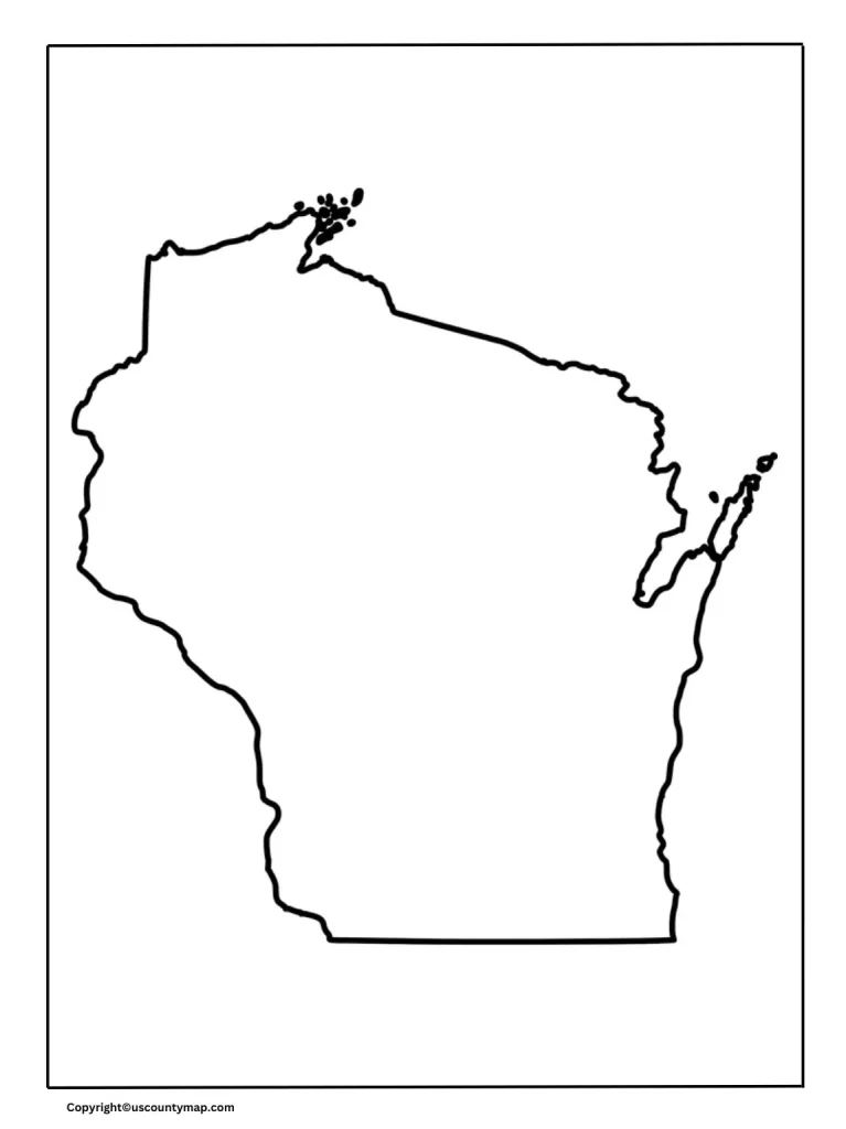
Blank Wisconsin Map Worksheet
The above Blank Map of Wisconsin can be used by users as a practice and exam worksheet.
Wisconsin State Natural Parks and Outdoor Activities
Wisconsin provides many outdoor opportunities, with state parks, forests, and lakes offering landscapes for activities such as hiking, fishing, boating, and skiing. Some of the notable natural attractions include Devil’s Lake State Park, the Ice Age National Scenic Trail, and the Chequamegon-Nicolet National Forest.
Wisconsin is one of the diverse states with rich tapestry consisting of natural landscape, economic opportunities, and history. From their industrialized towns and cities to peaceful farmlands and picture-postcard country landscapes, Wisconsin provides a truly diverse mix of opportunity and allure reflecting its innovative past and modern vigor.


