The printable map and blank map of South Dakota can be useful educational resources for children to learn geography, history, and cultural information of the state in an interactive and interesting way.
South Dakota, a Midwestern state in the United States, is famous for its varied landscapes, rich history, and cultural heritage. The state is split by the Missouri River into two regions: the eastern region, with rolling prairies and fertile plains, and the western region, where the Black Hills, Badlands, and grasslands blanket the land. The Black Hills, a small, remote mountain chain, is known for Mount Rushmore, the giant sculpture of four U.S. presidents, and the historic town of Deadwood.
The South Dakota economy is primarily agriculture, tourism, and manufacturing based with contributions from the energy and mining industries. The history of the state is closely tied to Native American, specifically the Lakota Sioux, culture, and the state is proud to celebrate that in many museums, cultural centers, and on an annual basis. Pierre is the capital of South Dakota, and its largest city is Sioux Falls, which is famous for having a thriving arts community and strong economy. The state has a continental climate with cold winter and hot summers, which makes it a location of natural scenery and outdoor recreational activity throughout the year.
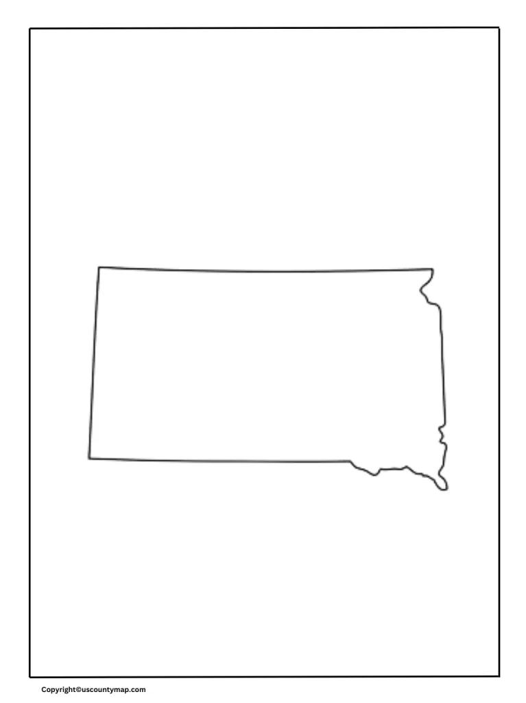
Blank Map of South Dakota
Educational Purposes:
- Geography Lessons: Children can learn the geography of South Dakota by coloring counties, cities, rivers, and other landmarks on blank maps.
- Memory Aids: Color coding and map labeling assist in reinforcing memory and knowledge of the layout of the state.
- Interactive Learning: Activities like completion of maps can be used to practice and make learning more attractive and interactive.
Skill Development:
- Map reading: Increases children’s skills to identify and read maps, including legends, scales and symbols.
- Spatial awareness: Develops its skills to understand spatial relationships and physical references of regions.
Test Preparation:
- Practice for examination: Examination for geography tests and quiz is a useful tool for practice and modification.
- Evaluation: Map worksheets can be used by teachers to evaluate the understanding of students of South Dakota.
Historical and Cultural Education:
- Historical References: The vacant map of South Dakota can be used to instruct historical events and their places in the state.
- Cultural Sites: Learning and recognizing about important cultural and historical sites can create more praise for the legacy of the state.
Environmental Education:
- Natural Resources: Maps can be used to teach children about the natural resources and environmental elements of South Dakota.
- Ecosystems: Discovering various ecosystems and learning about their characteristics can be integrated into map activities.
Creative Projects:
- Artistic Expression: Children can utilize blank maps for creative projects, including creating their own versions of the state map.
- Thematic Maps: Promotes the creation of thematic maps that identify specific features like climate zones, population, or landmarks.
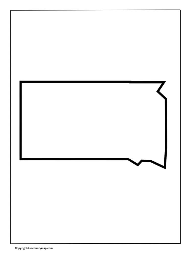
Printable South Dakota Map
About South Dakota State
South Dakota, a state in the Midwestern part of the United States, boasts a rich past, varied landscape, and rich culture.
Blank Map of South Dakota Outline
Here are a few important facts regarding South Dakota:
- Geography:
- Black Hills: A mountainous area in the western portion of the state, where Mount Rushmore and the Crazy Horse Memorial are located.
- Great Plains: The eastern portion of South Dakota is comprised of flatland and rolling hills, which is part of the broader Great Plains region.
- Missouri River: Longest river in North America, it flows through South Dakota, including water resources and recreational activities.
- History:
- Native American Heritage: South Dakota is home to a large number of Native Americans from the Sioux tribes, having rich tradition and a history of culture.
- Pioneer Settlements: The kingdom has a records of pioneer settlements and played an important position at some point of the western enlargement in the 19th century.
- Native American Heritage: South Dakota is home to a large number of Native Americans from the Sioux tribes, having rich tradition and a history of culture.
- Economy:
- Agriculture: South Dakota’s financial system is essentially powered by way of agriculture, such as crops like corn, soybean and wheat as well as farm animals farming.
- Tourism: Major vacationer sights encompass Mount Rushmore, Badlands National Park and annual Stargis Motorcycle Rally.
- Agriculture: South Dakota’s financial system is essentially powered by way of agriculture, such as crops like corn, soybean and wheat as well as farm animals farming.
- Culture and Festivals:
- Cultural Program: The kingdom hosts many cultural applications and gala’s that commemorate their original American background and main history.
- Art and track: South Dakota has a colourful art scene with galleries, live shows and dramatic performances.
- Education:
- Educational Institute: The nation is home to many universities and schools, which offers better education opportunities for their residents.
Blank South Dakota Map Outline