A Blank map of Texas is a highly detailed map that provides an elaborate list of information, including different geography, infrastructure, and demographic distribution aspects of the state.
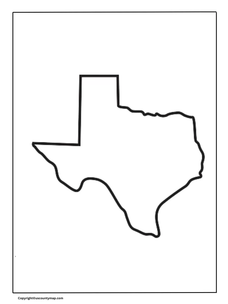
Blank Map of Texas
Geographic Features
- Major Cities:
- Houston: The Texas city that is the biggest in size, situated in the southeastern region of the state, recognized for being very important in the energy sector, especially oil and natural gas.
- San Antonio: Renowned for the Alamo and its colonial history, situated in south-central Texas.
- Dallas: A large cultural and economic hub in north-central Texas, famous for its role in technology, finance, and telecommunications.
- Austin: The capital city, situated in central Texas, famous for its lively music culture, technology sector, and educational institutions such as the University of Texas at Austin.
- Fort Worth: Bordering Dallas, famous for its strong Western heritage and close cultural and economic ties to the greater Dallas-Fort Worth metropolitan area.
- El Paso: In the distant western corner of the state, on the Mexican border, with strong cultural and economic ties to Mexico.
- Houston: The Texas city that is the biggest in size, situated in the southeastern region of the state, recognized for being very important in the energy sector, especially oil and natural gas.
- Rivers and Lakes:
- Rio Grande: Creates the natural border between Texas and Mexico, running from the Rocky Mountains of Colorado to the Gulf of Mexico.
- Red River: Marks a portion of the northern border between Texas and Oklahoma.
- Colorado River: Runs through central Texas, including Austin, and is critical for water supply and recreation.
- Brazos River: One of the longest rivers in Texas, running from northwest to southeast through the state.
- Lakes: Important lakes like Lake Texoma, Amistad Reservoir, and Lake Travis are essential for water supply, recreation, and hydroelectric power.
- Mountain Ranges and Deserts:
- Guadalupe Mountains: Includes Guadalupe Peak, the state’s highest peak, in the western region of Texas.
- Davis Mountains: Another major mountain range in West Texas, famous for McDonald Observatory.
- Chihuahuan Desert: Encompasses regions of West Texas, giving a distinctive ecosystem and landscape.
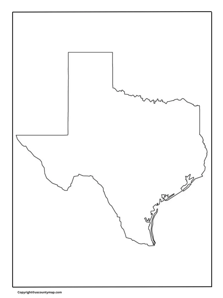
Printable Map of Texas [Blank Map of Texas]
Infrastructure
- Major Highways and Interstates:
- I-10: Goes east-west through the state, linking major cities such as El Paso, San Antonio, Houston, and to other states.
- I-35: Goes north-south, connecting cities such as Laredo, San Antonio, Austin, and Dallas, and into Oklahoma.
- I-45: Ties Houston to Dallas, traveling north-south.
- I-20 and I-30: Both travel east-west, with I-20 traveling Midland-Odessa to Dallas and I-30 connecting Dallas to Texarkana.
- Airports:
- Dallas/Fort Worth International Airport (DFW): Busy airport in the world, acting as a hub for both domestic and international traffic.
- George Bush Intercontinental Airport (IAH): Houston, another key international entry point.
- Austin-Bergstrom International Airport (AUS): State capital and central Texas area.
- Dallas/Fort Worth International Airport (DFW): Busy airport in the world, acting as a hub for both domestic and international traffic.
- Railroads:
- Extensive freight rail systems link Texas to other states and Mexico, supporting the state’s economy by enabling the transportation of goods.
Political and Administrative Boundaries
- Counties:
- Texas is geographically divided into 254 counties, the most of any U.S. state. Each of these counties operates as a local governmental unit with its own local government and services.
- Congressional Districts:
- Maps usually trace congressional districts for political representation based on changes following each census.
- Maps usually trace congressional districts for political representation based on changes following each census.
Economic and Industrial Regions [Blank Map of Texas]
- Energy Sector:
- West Texas’s Permian Basin is one of the largest oil-producing areas.
- The Eagle Ford Shale in South Texas is a key area for oil and natural gas production.
- Agricultural Areas:
- The High Plains and Texas Panhandle are significant for cattle ranching and farming, such as cotton, wheat, and sorghum.
- Technology and Innovation:
- The Austin region, “Silicon Hills,” is a thriving tech center.
- Dallas and Houston also possess important technology and innovation industries.
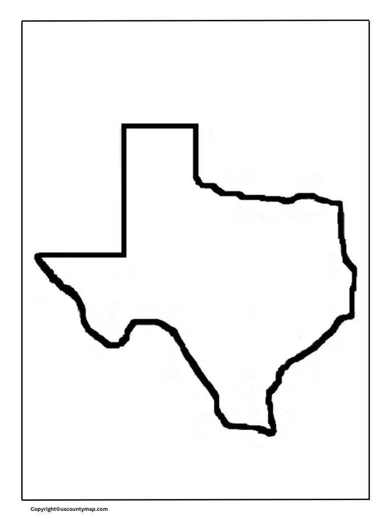
Texas Map Outline
Natural Attractions and Parks
- Big Bend National Park: West Texas, close to Rio Grande, is famous for its lovely wasteland scenes and opportunities for external journey.
- Palo Duro Canian: The 2d biggest canian in The Nation, which is observed within the Panhandal of Texas.
- State Parks: Various state parks such as Enchanted Rock, Garner State Park, and Padre Island National Seashore provide varied recreation and natural beauty.
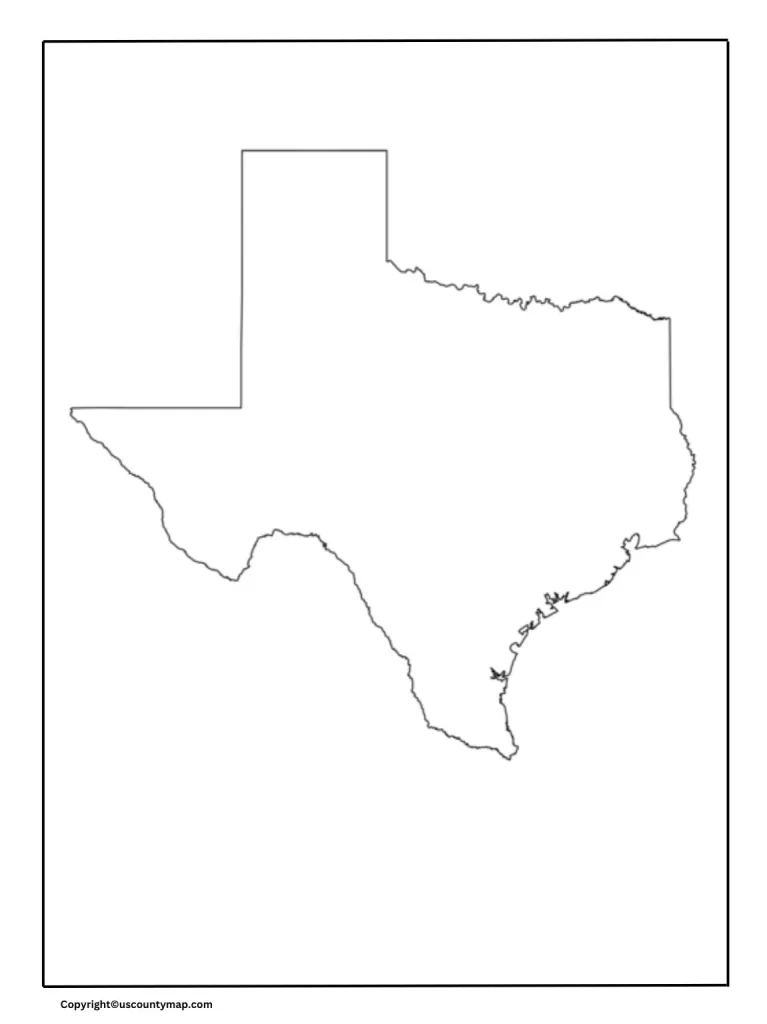
Texas Map Worksheet
Demographic Information
- Population Distribution:
- Maps can indicate population density, with urban areas of high concentration compared to rural areas with low concentrations.
- Ethnic and Cultural Diversity:
- Mirroring the state’s mixed population, with large Hispanic, African American, and immigrant communities adding to the cultural mix.
In conclusion, a detailed Texas map offers valuable information on the state’s huge and diverse landscape, infrastructure, economic centers, and demographic distribution, making it a must-have for residents, businesses, planners, educators, and tourists.