Blank map of Washington has a broad set of applications in educational, planning, research, travel and professional situations in the printable state maps of Washington Counties. They are effective tools that promote learning, navigation, strategic planning and community participation.
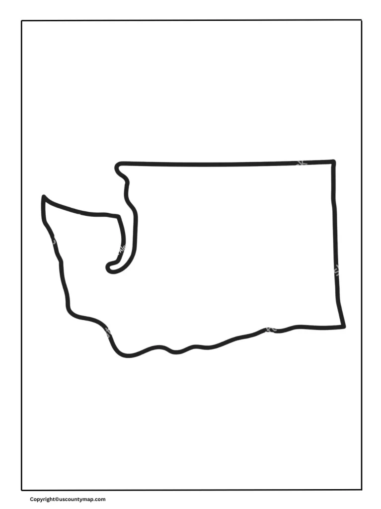
Blank Map of Washington Counties
Uses of Blank Map of Washington Counties
- Educational Purposes:
- Geography Lessons: Educators utilize blank maps to teach students about Washington’s counties. Students can mark the counties, recognize their positions, and learn about the geography of the state.
- Exams and Quiz: Vacant maps are useful in examinations where students need to identify and mark various counties.
- Planning and Organization:
- Event Planning: Event organizers can use blank maps to organize events and which will participate in important places along with counties.
- Service sector: Service provider and business can specify service sectors and distribution sectors within various counties.
- Event Planning: Event organizers can use blank maps to organize events and which will participate in important places along with counties.
- Research and Analysis:
- Data Collection: Researchers use vacant maps to keep data points such as demographic data, economic data, or environmental research.
- Epidemiological: Health experts can map disease transmission or healthcare availability.
- Government and Administration:
- Resource allocation: The map is used by government agencies to plan resource allocation, disaster management and infrastructure.
- Political Campaigns: The campaign managers plan election campaigns by looking at support locations and target areas on the map.
- Travel and Tourism:
- Tourist Route: Travel agents plan travel routes and marked tourist areas at various counties on vacant maps.
- Personal travel plan: People traveling use blank maps to detect destinations and chart their trips.
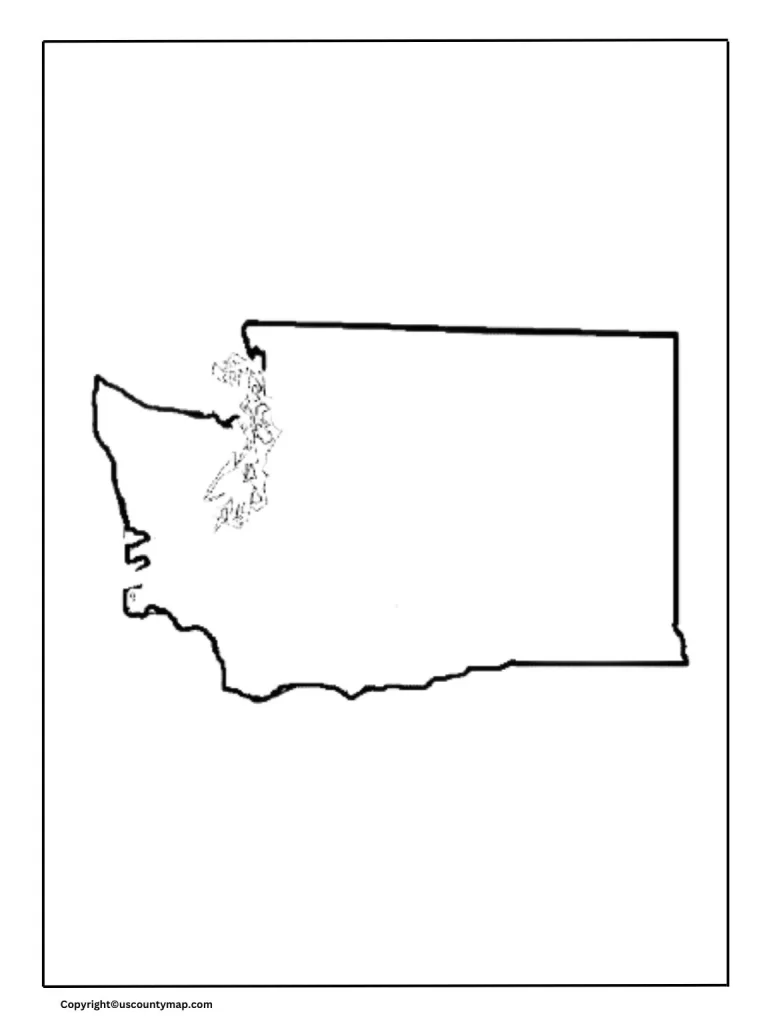
Printable Washington Map
- Public Information:
- Brochures and Guides: Travel brochures, guides, and tourist and new resident information pamphlets contain printable maps.
- Educational Materials: Printed maps are part of the educational material in schools and libraries.
- Navigation and Wayfinding:
- Road Trips: Print maps are used by travelers to navigate road trips, determining routes, highways, and large cities.
- Local Discovery: Locals visit surrounding locations and discover local attractions.
- Road Trips: Print maps are used by travelers to navigate road trips, determining routes, highways, and large cities.
- Business and Marketing:
- Store Locations: Companies print maps indicating their store locations throughout the state.
- Market Analysis: Businesses study market areas and map competition.
- Real Estate:
- Property Listings: Real estate agents include maps in property listings to indicate the location of homes and commercial property.
- Area Analysis: Buyers analyze various areas and their facilities using maps.
- Event Coordination:
- Community Events: Event managers hand out printed maps indicating event locations, parking lots, and important facilities.
- Conferences: Conference managers give out maps to participants for accessing venues and areas around them.
- Emergency Services:
- Evacuation Routes: Governments hand out printed maps to indicate evacuation routes during natural disasters or emergencies.
- Resource Centers: Maps indicate locations of emergency shelters, hospitals, and aid centers.
- Recreational Activities:
- Hiking and Biking Trails: Maps indicate trails, parks, and natural reserves for nature lovers.
- Hunting and Fishing: Maps indicating areas set aside for hunting and fishing are useful to sportsmen.
- Historical and Cultural Discovery:
- Heritage Sites: Printable maps identify historical sites, museums, and cultural icons for educational excursions.
- Cultural Trails: Maps trace trails connecting important cultural and historical sites.
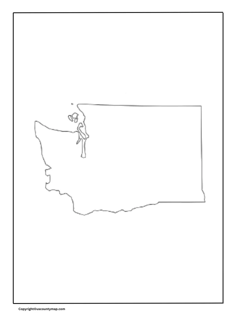
Blank Map of Washington Worksheet
A Washington map worksheet is useful in brief by:
- Improving Geography Skills: Enables students to learn about county, city locations, and geographic features.
- Fostering Interactive Learning: Involve students with activities such as labeling, coloring, and tracing routes.
- Facilitating Test Preparation: As a rehearsal tool for geography quizzes and tests.
- Building Map Reading Skills: Enhances skill in interpreting symbols, legends, and scales.
- Promoting Spatial Awareness: Assists learners in comprehending spatial relationships and physical space.
- Enabling Data Analysis: Merges information such as population density or climate zones for analysis.
- Teaching History and Culture: Places information in historical context and emphasizes cultural locations.
- Enhancing Environmental Education: Educates on natural resources and ecosystems.
- Building Practical Applications: Helps in route planning travel and community context.
- Encouraging Creativity: Facilitates customized and creative map projects.