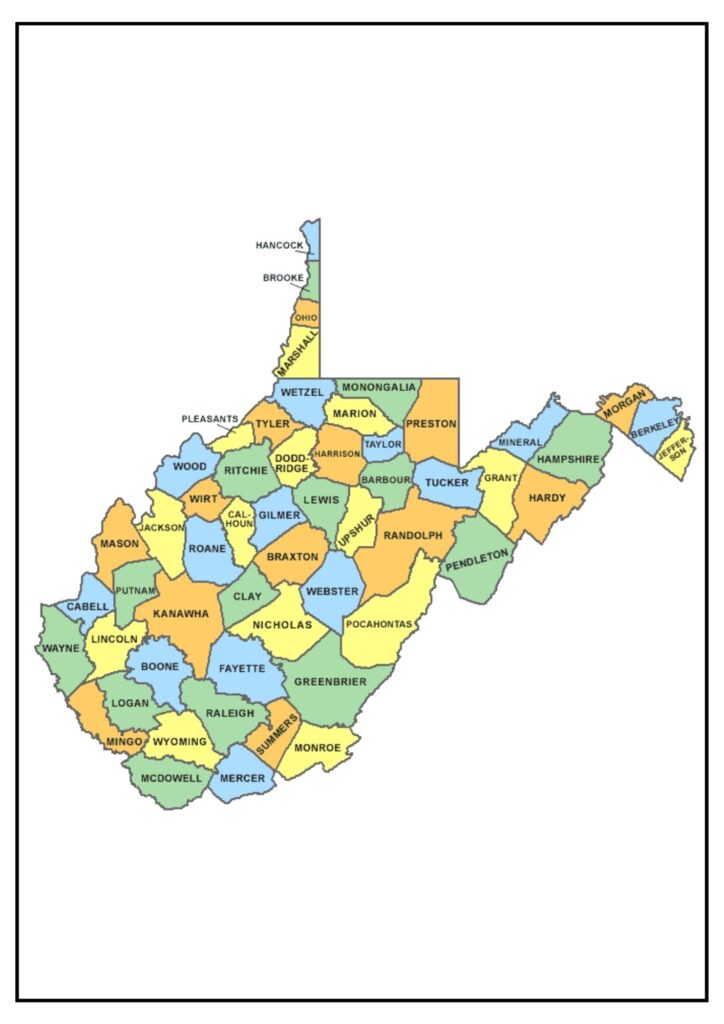
Virginia County Map – Virginia is one of the states in the Mid-Atlantic United States. It is famous for its history, natural beauty, and diverse people. Virginia has eight U.S. presidents and was the location of most of the key events of the American Revolution and the Civil War.
Virginia County Map
The map indicates the position of every county and independent city in Virginia. The map also indicates the principal roads and highways within the state. The Virginia County Map is a useful tool for residents and tourists. It can be utilized to get directions, plan trips, and learn more about the various counties and independent cities in Virginia.
Below is a short description of some of the counties and independent cities in Virginia:
- Fairfax County: Fairfax County is the most populated county in Virginia. It is in the northern section of the state and is characterized by its suburban neighborhoods and its location near Washington, D.C.
- Prince William County: Prince William County is the second most populated county in Virginia. It is in the northern section of the state and is characterized by its military installations and its suburban neighborhoods.
- Henrico County: Henrico County is the third largest county in Virginia. It lies in the center of the state and is home to suburban neighborhoods and proximity to Richmond, Virginia’s capital city.
- Virginia Beach: Virginia Beach is the largest independent city in Virginia. It sits on the Atlantic Ocean and is famous for its beaches, boardwalk, and military influence.
- Chesapeake: Chesapeake is the state’s second-most populous independent city. It is situated in southeastern Virginia and is famous for its port, its military installations, and its Great Dismal Swamp National Wildlife Refuge.
County and City Map of Virginia
The map is also a valuable tool for companies and government agencies that must monitor data or make decisions based upon geographic information.
The Virginia County Map is an exact map of all the state’s 95 counties and 38 independent cities. The map provides details of each independent city’s and county’s location, their linking major highways, and highways as well. Details of population size and seat in each independent city and county are also mapped out.
Some of the ways in which the County and City Map of Virginia can be utilized are as follows:
- Planning vacations: The map can be employed to plan car trips, hiking excursions, and other outdoor activities. It can also be employed to locate hotels, restaurants, and other tourist destinations.
- Getting directions: Directions to any place in Virginia can be found using the map. It can also be utilized to estimate distances and travel times.
- Locating specific locations: Specific locations, such as government offices, schools, and hospitals, can be found using the map. It can also be employed to find addresses and ZIP codes.
- Tracking data: Companies and government institutions can utilize the map to track data, including sales levels, crime levels, and population increase. They can also utilize the map to determine where to establish new facilities or services.
The state has an assortment of amenities and attractions, and it is a lovely place to reside.


